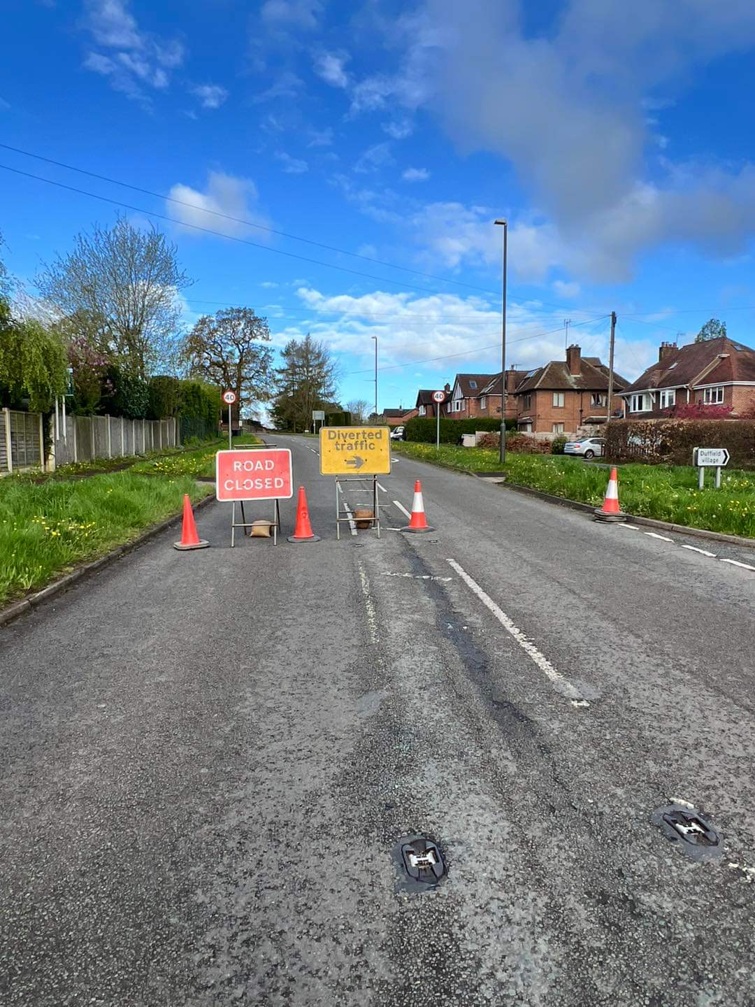
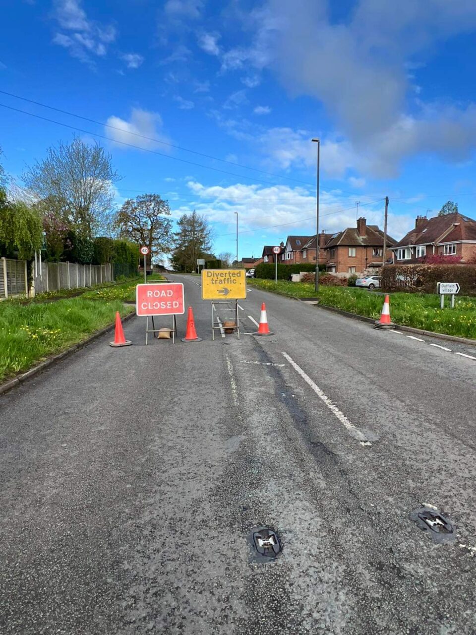
The closure of the Garsen-Witu-Lamu A7 road by the Kenya National Highways Authority (KeNHA) amid flooding along the Tana River reflects a recurring challenge in the region, where heavy rainfall often leads to the river bursting its banks and causing extensive flooding. This recurrent phenomenon not only disrupts transportation infrastructure but also poses significant risks to the local communities and their livelihoods.
The decision by KeNHA to temporarily close the road underscores the authority’s commitment to prioritizing public safety in the face of natural disasters. By proactively monitoring the situation and providing regular updates to the public, KeNHA aims to mitigate the potential risks associated with traveling on the affected route during periods of heightened flood risk.
The closure of the Garsen-Witu-Lamu A7 road is not an isolated incident; rather, it is part of a broader pattern of challenges faced by communities living along the Tana River basin. The region is prone to seasonal flooding, particularly during the rainy season, when heavy precipitation causes water levels to rise rapidly. As a result, infrastructure such as roads and bridges becomes vulnerable to damage, posing logistical challenges for residents and travelers alike.
In December of the previous year, heavy rainfall in the area triggered a similar event, leading to the river bursting its banks and inundating surrounding areas. The resultant flooding not only disrupted transportation networks but also caused widespread displacement and damage to property. The closure of the Garsen-Witu-Lamu A7 road at that time was a necessary measure to ensure the safety of road users and to prevent further exacerbation of the situation.
One of the key factors contributing to the vulnerability of the region to flooding is its geographical location and topography. The Tana River basin is characterized by low-lying areas that are prone to inundation when water levels rise. Additionally, deforestation and land degradation in upstream areas can exacerbate the risk of flooding by increasing the rate of surface runoff and soil erosion, thereby reducing the capacity of the land to absorb excess water.
Climate change is also likely to play a significant role in exacerbating the frequency and severity of flooding events in the region. As global temperatures rise, weather patterns become more erratic, leading to more intense and unpredictable rainfall. This, in turn, can increase the risk of riverine flooding, particularly in areas with poor drainage infrastructure and inadequate flood management measures.
In response to the recurring threat of flooding, efforts have been made to improve flood preparedness and response capabilities in the region. This includes the development of early warning systems to alert communities to impending flood events, as well as the construction of flood defenses such as levees and embankments to mitigate the impact of rising water levels.
However, addressing the root causes of flooding in the Tana River basin will require a holistic approach that takes into account both natural and human factors. This may include measures such as reforestation to restore degraded watersheds, the implementation of sustainable land management practices to reduce soil erosion, and the construction of resilient infrastructure that can withstand extreme weather events.
In addition to these long-term strategies, there is also a need for enhanced coordination and collaboration between government agencies, local communities, and other stakeholders to ensure a comprehensive and effective response to flooding events when they occur. This includes timely evacuation and relief efforts to assist affected populations, as well as measures to restore damaged infrastructure and livelihoods in the aftermath of a flood.
The closure of the Garsen-Witu-Lamu A7 road amid flooding along the Tana River highlights the ongoing challenges faced by communities in the region due to seasonal flooding. While efforts have been made to improve flood preparedness and response capabilities, addressing the root causes of flooding will require a coordinated and sustained effort involving multiple stakeholders. By working together to implement a range of measures, it is possible to reduce the impact of flooding and build more resilient communities in the Tana River basin.
Addressing the recurring challenges posed by flooding along the Tana River requires a multi-faceted approach that incorporates both short-term emergency responses and long-term strategies for sustainable flood management. One aspect of this approach involves improving infrastructure resilience to withstand flood events. This includes the construction of elevated roads, bridges, and drainage systems designed to cope with increased water levels during periods of heavy rainfall. By investing in infrastructure that is specifically designed to mitigate the impact of flooding, authorities can minimize disruptions to transportation networks and facilitate the movement of people and goods even in the face of adverse weather conditions.
In addition to physical infrastructure, efforts to enhance flood resilience must also encompass community-based initiatives aimed at building local capacity to cope with and adapt to flood events. This may involve training community members in disaster preparedness and response techniques, as well as promoting sustainable land use practices that reduce vulnerability to flooding. By empowering communities to take proactive measures to protect themselves and their livelihoods, authorities can strengthen the overall resilience of the region to future flood events.
Furthermore, effective flood management requires robust data collection and analysis to better understand the underlying drivers of flooding and inform evidence-based decision-making. This includes monitoring rainfall patterns, river discharge levels, and land use changes to identify areas at high risk of flooding and prioritize interventions accordingly.
Another key aspect of flood management is ecosystem-based approaches that harness the natural functions of wetlands, floodplains, and riparian zones to mitigate the impact of flooding. Restoring and preserving these natural habitats not only helps to regulate water flow and reduce the severity of flooding but also provides valuable ecosystem services such as water purification, habitat provision, and carbon sequestration.
By integrating ecosystem-based approaches into flood management strategies, authorities can achieve multiple co-benefits, including biodiversity conservation, climate change mitigation, and enhanced resilience to extreme weather events.Engaging with local communities and stakeholders is essential for the success of flood management initiatives, as they possess valuable knowledge and insights about the local landscape and traditional coping mechanisms.
By fostering dialogue and collaboration between government agencies, non-governmental organizations, academia, and local communities, authorities can co-design and implement flood management strategies that are tailored to the unique needs and circumstances of the region. This participatory approach not only enhances the effectiveness of flood management interventions but also fosters a sense of ownership and resilience within the community.
Addressing the recurring challenges posed by flooding along the Tana River requires a comprehensive and integrated approach that encompasses infrastructure development, community empowerment, data-driven decision-making, ecosystem-based approaches, and stakeholder engagement. By adopting a holistic approach to flood management that addresses both the symptoms and root causes of flooding, authorities can build more resilient communities and ensure the long-term sustainability of the region’s socio-economic and environmental systems.


